#214 Part 1 of Mizpah Hut to Madison Spring Hut -Day 135: ATMM1854.6 to ATMM1865.8
Today was a good day. I learned something today I needed to know - something I found while crossing the barren mountains in the hot sun.

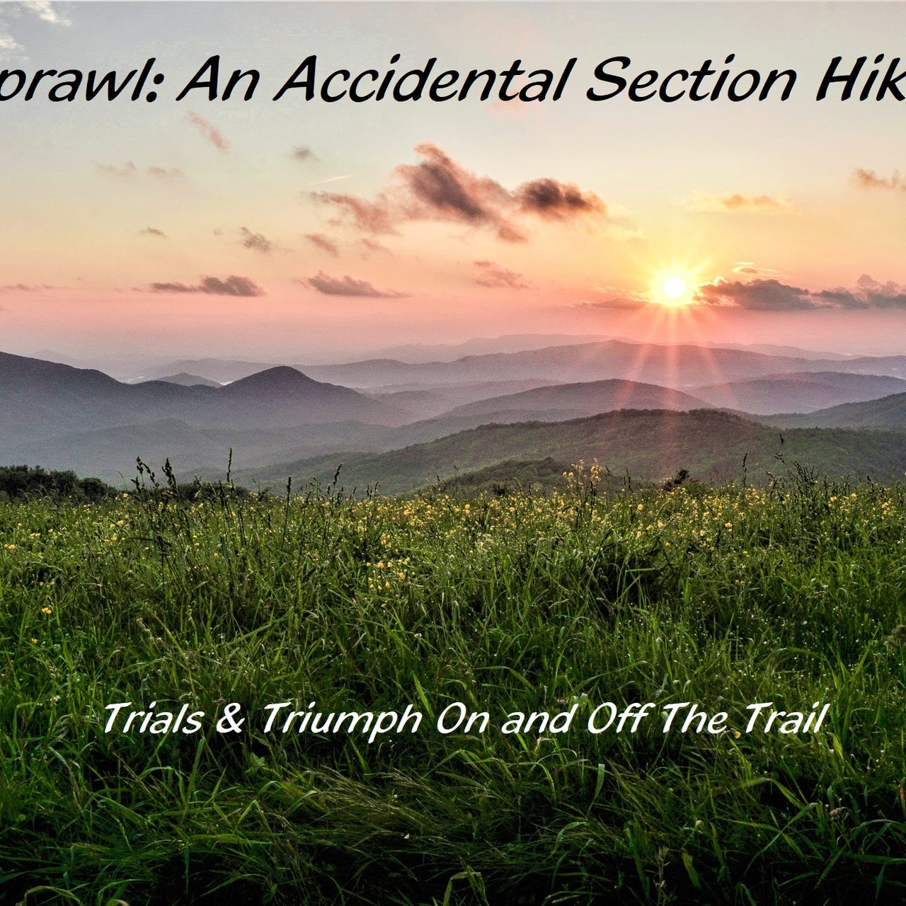
9-12-2024 - Part 1
SNOREMAGEDDON IS UPON US!!!
No fan inside or open windows or outside winds or rumbling storms to provide white noise in the library of Mizpah Hut, where Gravy and I slept last night as part of our work for stay. I laid awake most of the night listening to my floor-mate snores the snore of many men, as his tone and rhythm changed by the hour.
We have to be out of the library and have our packs moved out of sight of the dining room by six a.m., before the regular guests wake up.
I pour hot water from one of the carafes the Croo has set out into my instant oatmeal, then pour the first of several cups of hot coffee from one of the coffee carafes on the counter - it’s one of the perks (get it?) of our work for stay.
The hut’s six a.m. alarm sounds - one of the Croo members stands at the top of the stairway playing his fiddle. Sleepy-eyed guests emerge from their bunk rooms and congregate around the dining-room tables.
As they come in, I refill my coffee cup and head outside to watch the morning light slowly brighten.
When the guests and Croo finish their breakfasts, Gravy and I clean the dining room and do the larger dishes, then fill our plates with the leftover food.
Orange Man, Gravy, and l look over maps and talk about our expectations of today’s hike and when we think we’ll summit Mt. Washington, while Jeff, the unofficial guide to all things Mizpah area, doles out experienced words of wisdom of what to expect.
It’s a tough climb up Mt. Pierce (Mt. Clinton) out of the Mizpah Hut area. The hut sits at four thousand feet above sea level; the high point later today will be above six thousand feet above sea level.
The trail soon mellows out, though continually gaining elevation. It’s a long and rocky hike across the mostly exposed plateau, as I walk past loop trails that lead to several nearby mountain peaks, all part of the 4000 ft club. I see Mt. Webster, Mt. Eisenhower, Mt. Franklin, and Mt. Monroe, and I can see people standing on top and hiking up and down.
I’ve been crossing the Presidential Range for the past couple of days. You may have noticed the names of mountains I’ve climbed or whose peaks I’ve hiked past have names of past presidents, with the biggest of them all, Mt Washinton, just ahead of me.


Lake of the Clouds Hut comes into view mid-morning. I’m making pretty good time. I drop my pack by a bench beside the front door and go inside.
A table full of leftovers from breakfast sits near the entrance. I go into the restroom to wash my hands. Because it’s so close to the observatory and visitor center, this hut has running water, a treat for dirty hands.
My clean hands grab a plate and fill it with scrambled eggs, bacon, biscuits, coffee, and some kind of crumble cake.
Gravy walks in and joins me. We sit at a table facing the windows. In front of us is the expansive valley. To our right is Mt Washington, with its weather station, observatory, and large exposed summit standing tall against the clear blue sky.
Things are going well - I’m feeling strong, there’s food everywhere I go, and the weather is cooperating. For the past week I’ve been watching the summit grow larger, and now, I sit in the hut twelve hundred feet below it.


While sitting on a bench and putting my boots back on out front, I meet a retired lady wearing a sash. She and two friends are also getting themselves ready to climb Mt. Washington. This is her forty-eighth, and final, climb in her series. An hour from now she will be an official member of New Hampshire’s 4000 Footer’s Club. She saved the biggest mountain for last.
It’s only a mile and a half hike to the summit of Mt. Washington (6,288 ft) from Lake of the Clouds Hut (5012 ft).
I pass the two lakes near the hut then begin the long climb up, periodically looking back to see the hut and lakes grow smaller.


The climb looks steeper on the map than it actually is, but still a serious climb. So long as I move slow and steady I’ll be ok.
There’s no wind on this side of the mountain. The ground and air are dusty, and the sun is hot. One foot in front of the other. After an hour of steady climbing, I reach the summit.
I climbed up here with some friends on the opposite side from the mountain in 2017, by way of the Tucker trail. The weather was quite the opposite of today’s - cold, cloudy, drizzly, very high winds.
We will talk more about that hike in a few chapters from now.
Reaching the weather station and rounding one of the buildings I see a long line of people waiting to photograph themselves with the sign.
Side note: not one of them hiked up here. They either drove up on the winding Auto Road or took the Cog Railway up. That’s ok. They deserve a photo of this momentous day.
Sprawl Rants: I think what bugs me here is that they all knew I hiked up here from the bottom, they all acknowledged me and some applauded and shouted out congratulations as I approached the end of the line, but not one of them said, “Hey guys, let’s let the dude who climbed up the mountain by foot move to the front. If there were a long-distance hiker among them, they would have said that. If I’d driven up and saw a hiker waaaay back there in the ever-extending line, I know I would have let them cut in. It’s not that think I deserve special treatment - but speaking for hikers in general, I think it would have been good etiquette.
Enough with the rant - LET’S CELEBRATE!!!
Reaching the summit of Mt Washington is a major milestone for good ol’ Sprawl, The Accidental Section Hiker.
If I were to take the tram down right now, head home now, and pick up the trail next year, this hike would be a success, but you know I’m going to hike on.


I’m hungry. The visitor station has a wide variety of overly expensive food and snacks. Understandably so, but it’s a privilege for a hiker to be able to eat real food on top of the highest mountain in around.
I run into Orange Man.
I run into Gravy.
I run into Sunshine.
I send photo of myself at the sign and photos from inside the visitor center to the friends I hiked up here with in 2017.
I eat pizza and cookies and sip coffee while charging electronics and writing in my journal. It’s early in the day - there’s no rush.
The Appalachian Trail (A.T.) crosses the tracks of Mt Washington’s Cog Railway. It’s customary for A.T. hikers to moon their riders.
I know what you’re thinking - “Did Sprawl moon the cog rail riders as they went by, or did he buck the custom and resist?”
As a matter of fact, I……


Join me next Saturday for the second half of Mizpah Hut to Madison Spring Hut -Day 135: MM1854.6 to MM1865.8 (Post #215)
Today’s story is exceptionally long so I had to make it a two-part story.
I opened up this post (#214 - Part 1) and the next post (#215 - Part 2) for everyone to be able to read in full - not just paid subscribers.