#175 Fingerboard Shelter to West Mountain Shelter - Day 100: MM1391.2 - MM1399.9
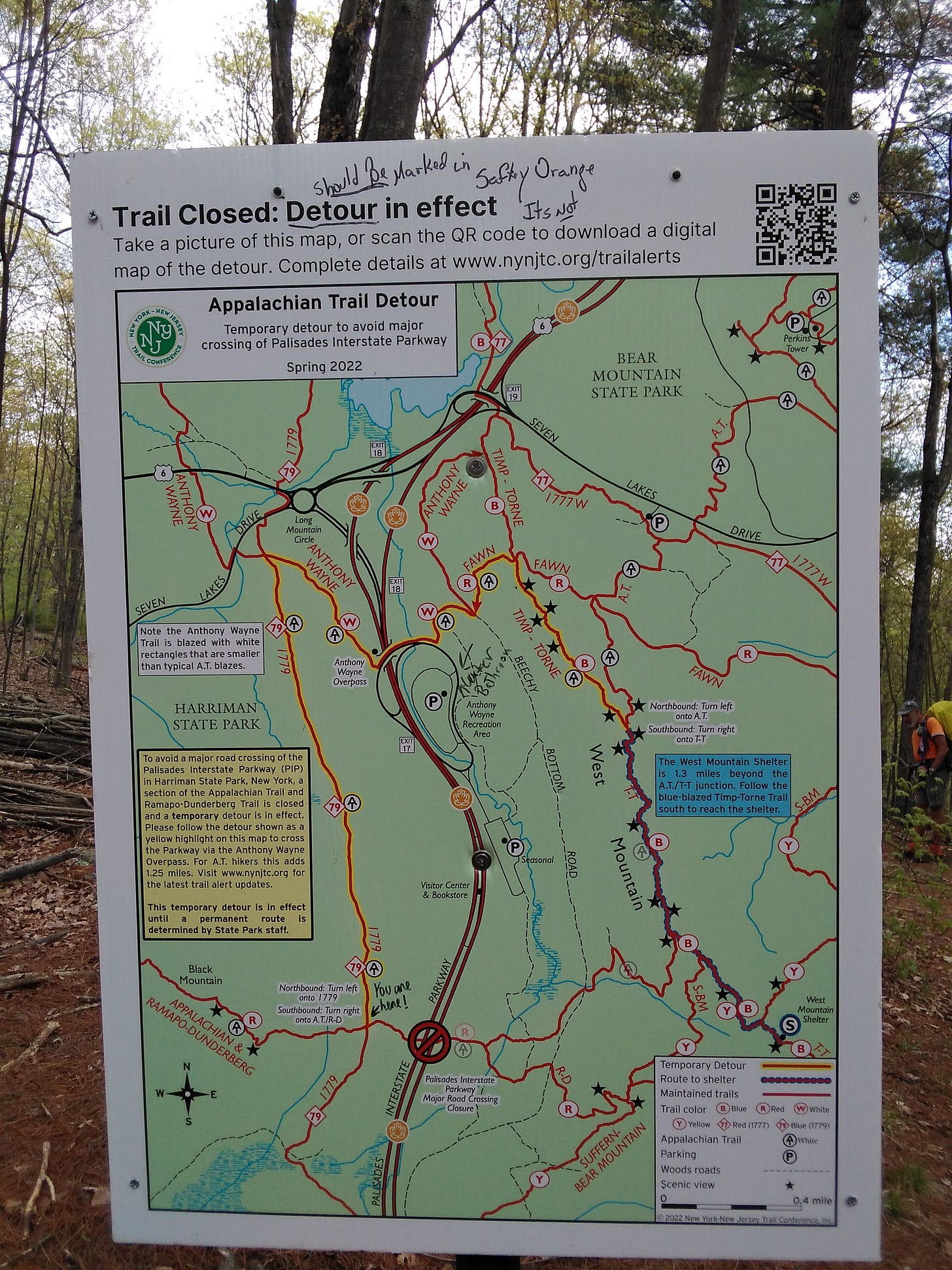
The Appalachian Trail Conservancy rerouted the A.T. by using existing trails..........Sprawl and Beacon DO NOT recognize the three mile “safe” re-route over Palisade Highway......
4-26-2024
Today is my 100th day of hiking on the Appalachian Trail. I have walked from Springer Mountain in Georgia to here. I will end my day just shy of the 1400-mile marker, leaving only 800 more miles to the summit Mount Katahdin in Maine, thus ending my hike.
But first, I have to focus on getting through today.
We wake to a soft blue sky and the warm sun.
I pour hot water into a bowl to soften the last of the oatmeal I have. It’s been a while since I’ve dropped into a store for supplies. The generosity of trail angels has carried me. But the well has run dry. I ate the last of my suppers last night. There’s nothing left but a few sugary snacks.
The temperature dipped pretty low last night. Though the shelter has two fireplaces we built zero fires. Too much work, I guess.
Today’s hike won’t be quite as demanding or take as long as I thought when I looked at the map last night. I’m able to take my time this morning and won’t have to rush getting to West Mountain Shelter, but I will have to get up early tomorrow morning to meet Courtney at Bear Mountain Lodge around 8 a.m.
Leaky Boots is sitting on a log changing his socks when I walk by. This seventy-nine-year-old man is quite the character. He’s very lively, hikes a lot, and has good stories to tell. I learn later that he sometime writes posts for The Trek and that his writings are quite popular.
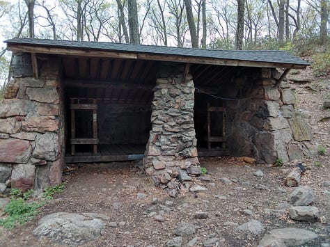
The moment I arrive at the William Brein Memorial Shelter area, the sun ducks behind the clouds, creating an ominous vibe. Looking at the haunted looking shelter I’m thankful it’s the middle of the day and I don’t have to sleep in there, with others or alone. To add to the cheerless aura, the very symbol of evil slithers past me while sitting on a boulder changing my socks and having a snack. How fitting.
Beacon walks through, eliminating the lonesome ambiance surrounding this area.


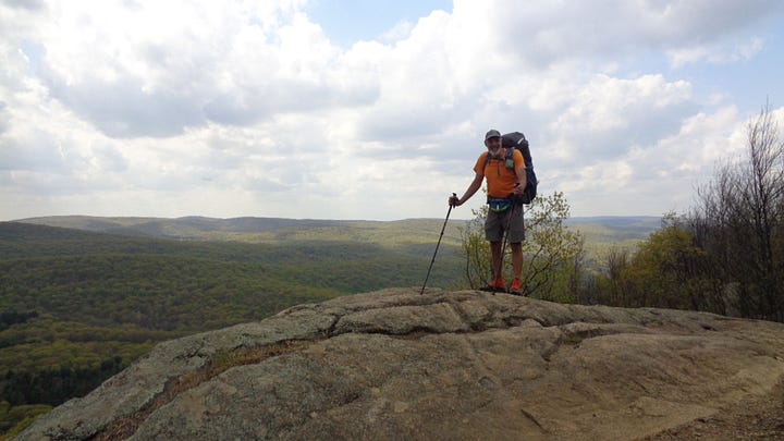
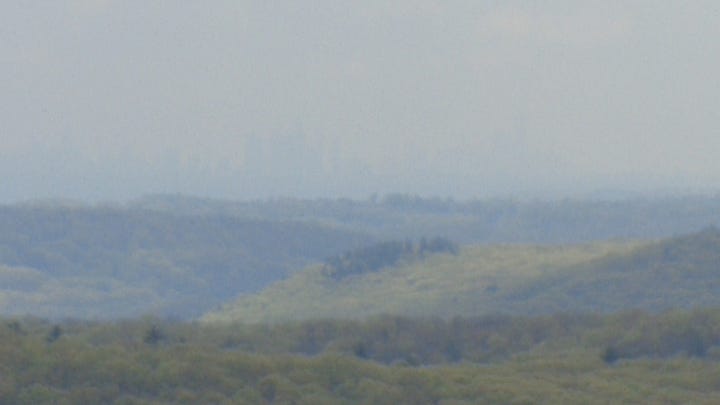
Catching up with Beacon near the summit of Black Mountain, we peer through the humidity, hoping for a glimpse of New York City on the horizon. Through the haziness, we can see it with our eyes, but the lenses of our cameras can’t quite capture it.


A sixty-six-year-old hiker was killed on November 14, 2021, while crossing Palisade Highway, which leads into New York City. Drivers routinely drive eighty miles per hour despite the limit being fifty-five.
The Appalachian Trail Conservancy rerouted the A.T. by using existing trails that lead northward, then southward, then east across Anthany Wayne Overpass over Palisade Highway in a long eastward curve, then in a north, east and south half circle, then eastward and south, then north, then east, then south-east in a snake-like fashion before reconnecting with its true self, just before heading north again.
Whew! That’s ridiculous!
Sprawl and Beacon DO NOT recognize the three mile “safe” re-route over Palisade Highway. The four-lane highway actually consists of twin two-lane roads - one southbound and one northbound divided by about fifty yards of trees. We believe we can manage the crossing.
The original, now frowned upon nefarious route, leads straight across the southbound road, across the median through the trees, then across the northbound road.
Hikers customarily take advantage of Palisades Information Center about a half mile north.
Sprawl and Beacon DO recognize the Palisades Information Center.


